Only Nice Things
Vintage aviation maps
Vintage aviation maps
Couldn't load pickup availability
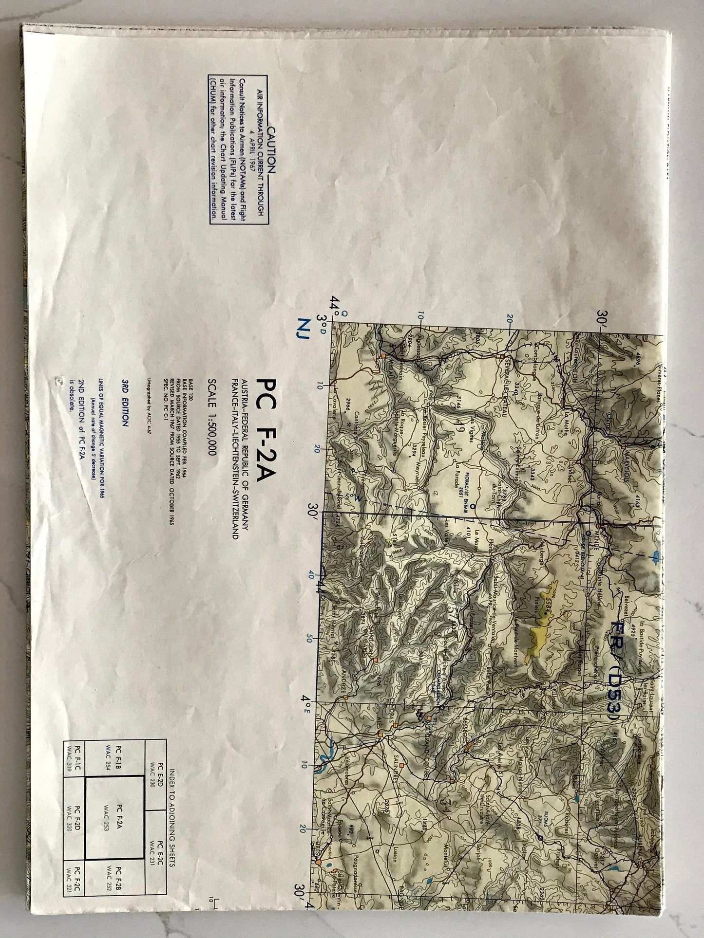
These aviation maps are mainly of Europe and date from the 1960's to the 1990's they make fantastic pictures when framed or and just a really nice thing to while away some time studying.
They vary in size and scale but the majority are approx. 150cm x 100cm
Subjects include:
England, TPC E-1B (2)
England (south coast) TPC E-1B (1)
Scotland, (1)
France & Spain TTC F1-C (1)
Denmark, Germany, Netherlands, Poland & Sweden PC E-2B (2)
Austria Czechoslovaka, France, Germany & Poland - PC E-2C (2)
Austria-Federal Republic of Germany, France, Italy, Liechtenstein & Switzerland PC F-2A (2)
Austria, Belgium, Czechoslovaka, Denmark, France, Germany, Luxembourg, Netherlands, Poland, Sweden, United Kingdom ONC E-2 (2)
Southern England - Laminated (2)
British Isles South - 412S-L (Royal Air Force) (2)
Ontario Canada (1)
Northern Europe USAF Jet Navigation Chart (1)
Chart of UK Airspace Restrictions (1)


